Parcel Mapping
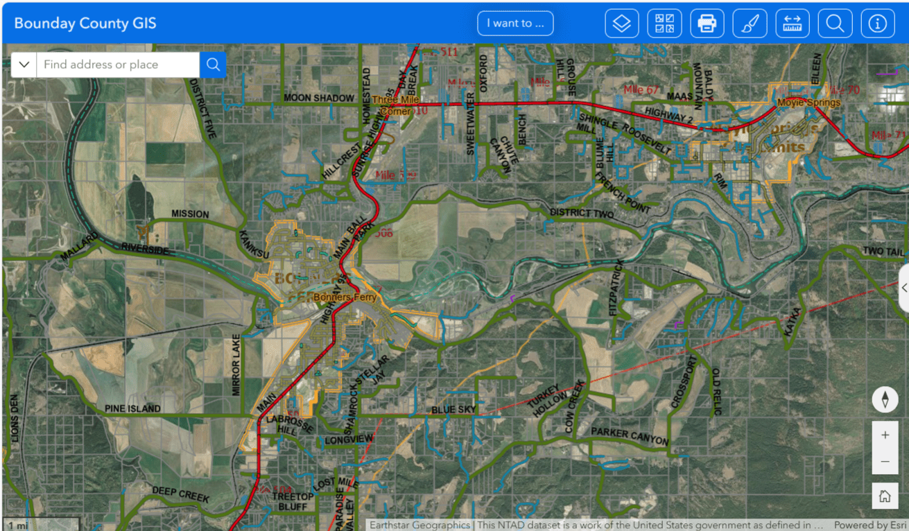
Boundary County’s new Parcel Map Viewer is now online!
Maps and associated data are shared as a public service for illustrative purposes only and are not designed as a substitute for legal surveys, legal records, or recorded documents. Every effort has been made to ensure accuracy however the County makes no claims as to quality, accuracy, completeness, or timeliness. The County will in no way be held responsible for any errors, omissions or interpretation.
Users should verify any information with the appropriate department.
Technical support is not provided – click the ⓘ button for How-To
For parcel data inquiries please call 208-267-3301
Please see the County GIS/Addressing page for the Road Name List/Map Viewer and information on road names and physical property addresses.
*Link to another parcel map viewer shared by the State Tax Commission